Aerial photography can transform a listing, but it is not equally useful on every property. Here is when drone earns its place in the marketing, and what to know about doing it right.
When drone adds the most value
- Acreage and land. Nothing conveys the size and shape of a lot like an overhead view. Essential for farms, ranches, and rural parcels.
- Waterfront and view homes. Aerials capture the relationship between the home, the water, and the surrounding landscape that ground photos cannot.
- Location and proximity. Drone shows how close a property sits to parks, trails, the water, or downtown.
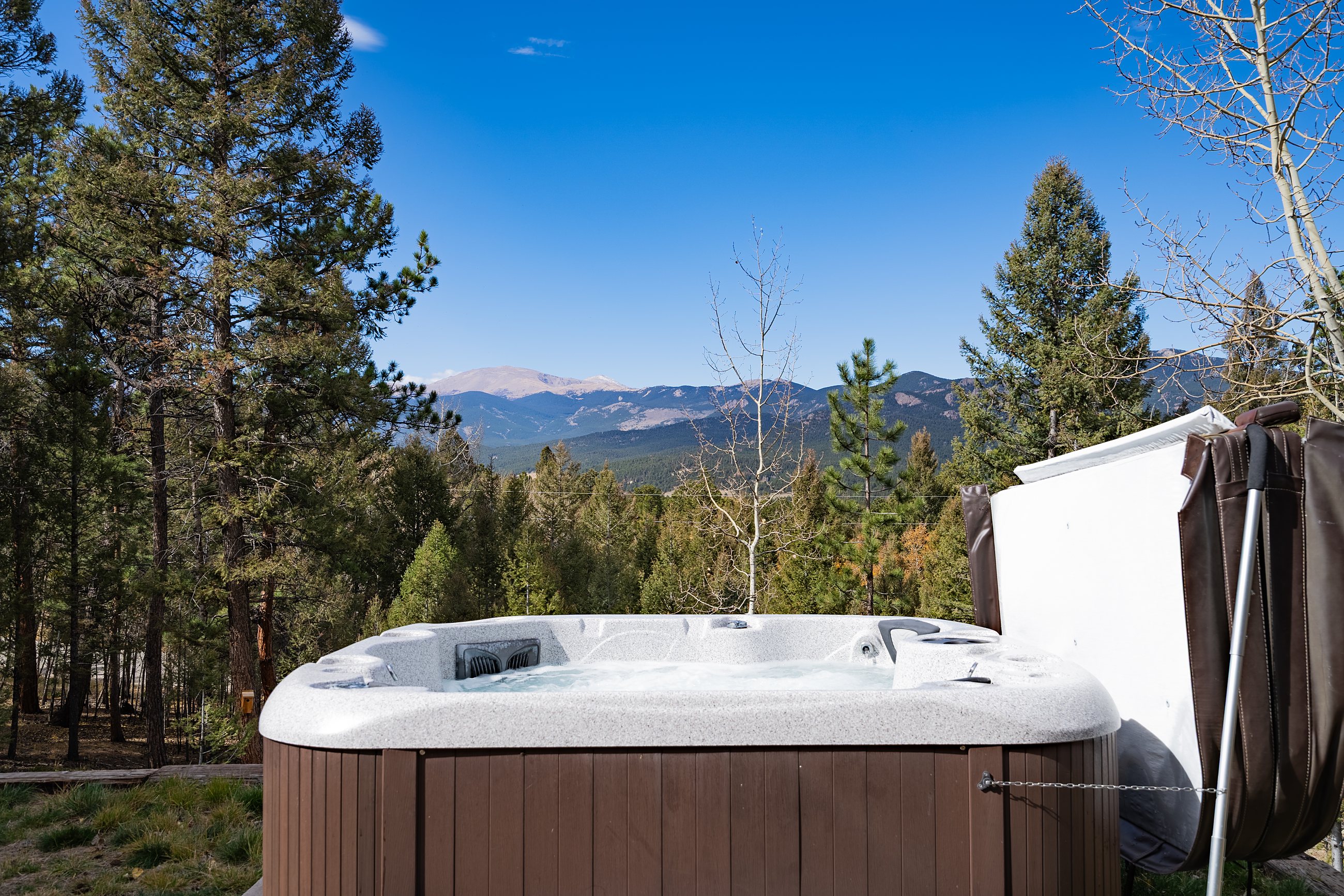
- Large or unique homes. Estate properties and homes with standout rooflines, pools, or grounds benefit from the full perspective.
Why licensing matters
Commercial drone photography legally requires an FAA-licensed remote pilot. Hiring a licensed operator is not just about compliance, it protects you and your client and ensures the footage can be used in the MLS and in advertising without issue. All Mirage Media aerial work is flown under an FAA-licensed pilot.
Does it actually help?
Yes, particularly on the property types above. Listings marketed with aerial imagery have been shown to sell faster, and the National Association of Realtors reports that listings with video, which often includes aerial footage, receive 403% more inquiries.
What it costs
With Mirage Media, drone photos start at $150 as a standalone service, and aerials are included in every package. For properties where the land or setting is part of the pitch, it is one of the most cost-effective upgrades you can add.
Book your shoot with Mirage Media
Real estate and commercial photography across Whatcom and Skagit County, delivered next day.